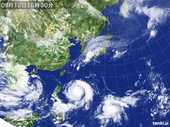
ハイサイ〜〜台風14号(ムーランティ)が遥か日本の南海上を西北西に進んでおります〜
現在920ヘクトパスカルで、明日には910ヘクトパスカルにまで落ちる?ようです。
つまり今季最大級のパワーを持ったタイフーンと言えます。
そして、そのすぐ後ろにも台風の卵があって(熱低エイティーン)、
やはり発達しながら北西、沖縄本島の方に向かうようです。
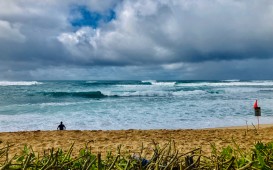
内地には秋雨前線がベッタリと伸びていて、雨は必至、前線によるスエルブロックも気になります。
14th typhoon is moving westerly north~~
Power is getting low to 910 hPs.
That means it’s the hugest typhoon of this season.
Plus, there’s a additional typhoon sticking with it.
Rainy clouds are covering Japan so
lets be careful about it as well.
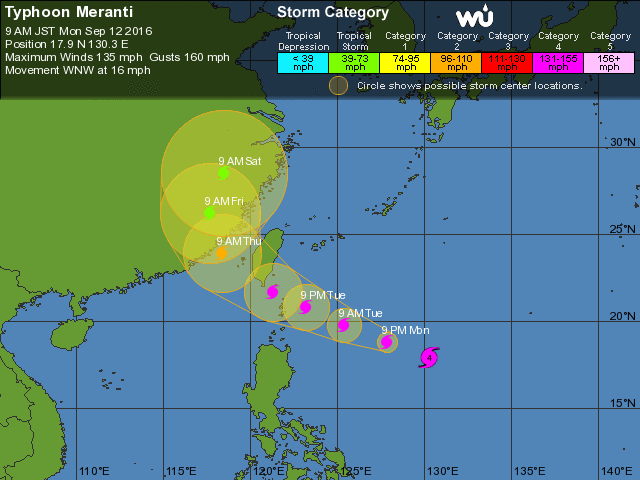
こちらが台風14号(ムーランティ)の予想進路です。
カテゴリ−4を保ったまま台湾の南まで行くので、内地に対しては南寄りのウネリを吐いていくことでしょう〜
14th typhoon, Meranti’s track forecast.
Still remaining category 4 and gonna go down south so it may give us nice swell~~
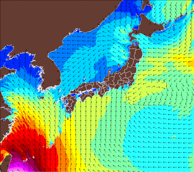
こちらは、波伝説が誇るウエイブハンターによる波高予想(9月15日)。
Wavehunter’s wave forecast.
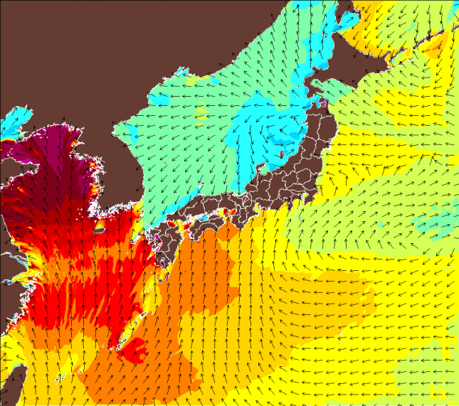
こちらは同じくウエイブハンターによる、ウネリの周期予想(9月14日)です。
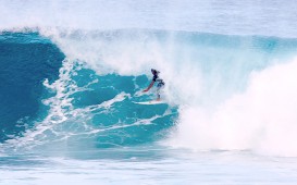
遠くにある台風ながらも勢力が絶大なので、西日本までしっかりとしたスエルが届きそうです〜
And the swell forecast.
Typhoon’s far away but has some power so it’s swell reach to Japan~~
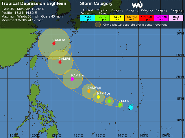
そして次に続く現在熱低のエイティーンは、勢力を強めながら沖縄本島の西面に入り、
東シナ海を北上、九州西面に向かう模様です。
台風が近づくにつれて秋雨前線を刺激しますので、
海はもちろんですが、陸での土砂災害や川の氾濫にも要注意です。
秋の台風はおっかないですから!!
Next low pressure is going through the west side of Okinawa and
it’ll go past the East China Sea.
Please be careful of the floods and the disaster it’ll cause.
Autumn typhoon’s nasty!!