https://www.namidensetsu.com/wavehunter/shore/undulation.html?mapid=00000000
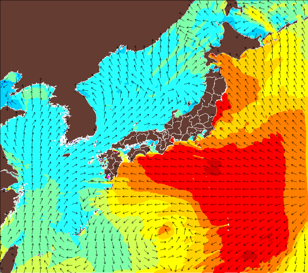
波伝説が世界に誇る波予報ツール・ウエイブハンターによる、7月24日のウネリの周期予報画像です。
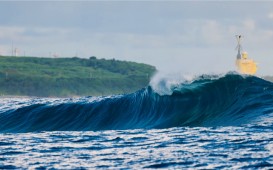
しっかりとしたイーストスエルが東日本から西日本の太平洋岸にリーチして来ていますね〜
台風5号・ノルからのまずは第一波です。
ノルは日本に接近せずグルグル停滞する予報なので、この後おそらく一週間以上スエルは続きそうです。
As the Wave Hunter tells, well shaped east swell is reaching to the pacific side.
This swell is from the the 5th typhoon, Noru.
It’ll stick around the pacific area for a while so this swell will maintain for a week.
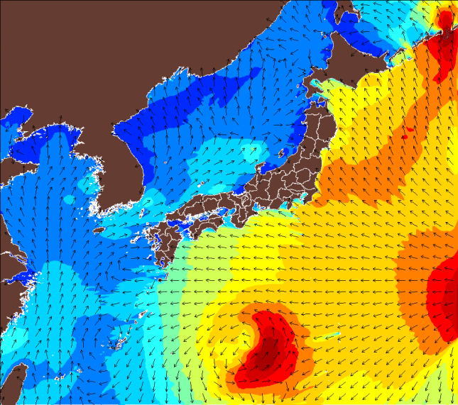
こちらは同じく7月24日の波高予報。
July 24th’s wave height.
そしてこちらは風予報で、太平洋側は南〜南西寄りの風で、西日本は弱く、東日本はやや強め予報です。
This one is a wind forecast. Pacfic side will get a south west wind.
Eastern Japan will get a stronger wind.
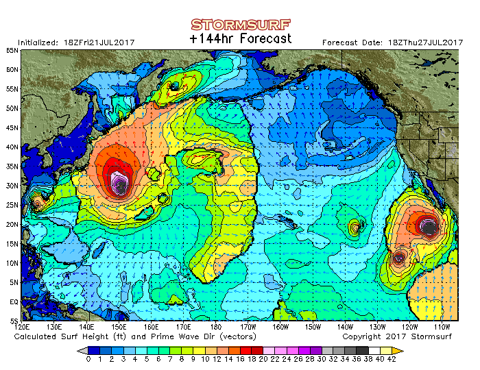 http://www.stormsurf.com/locals/npac.shtml
してこちらは”ストームサーフドットコム”
180時間後までの予報が出ますので、もっと先をチェックしてみましょう〜
これは7月27日のサーフヘイト。
And this forecast is from Storm Surf.
It tell you up to the next 180 hours.
This is July 27th’s surf height.
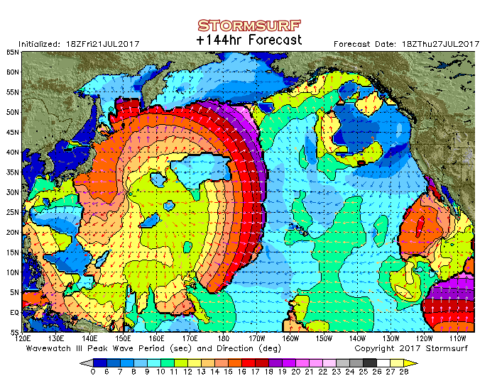
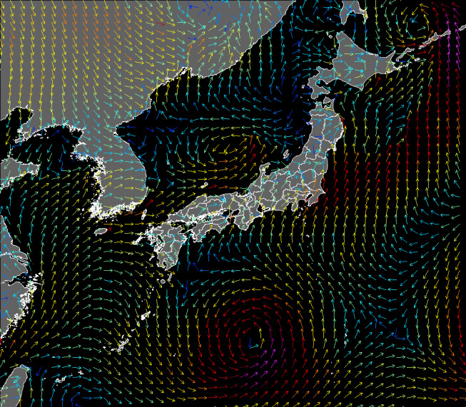
こちらは同じく7月27日のスエルピリオド。
西日本より東日本〜北海道に向けてウネリを吐き出していますね〜
And a swell period.
Spitting out the swell to Eastern Japan~ Hokkaido area~
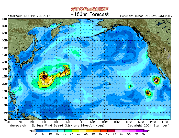
してこれは7月29日の風予報で、日本にはタイフーンウインドが絡んでいません。
つまり強風・豪雨がなく、遠くからのタイフーンスエルだけが太平洋岸に届いて来ます。
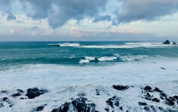
久しくこういった台風も珍しいですね。
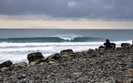
でもあくまで予報は予報なので、近くになればどんどんと状況は変わって来ますのでスティチューン!!
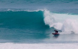
アフリカから帰国し、早10日、うだるように暑かった大阪デイズから脱出ですじゃ!!
This is the forecast of 29th. Typhoon isn’t coming inside to Japan.
So only swell will reach to Japan.
Never seen this kind of typhoon for a while.
Well, this is just a forecast so stay tuned for the latest information!!
That hot Osaka days is going disappear!!
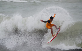
本日のデイリークリップは、
Hiroto Ohhara @ J-Bay 6/20
https://www.namidensetsu.com/news/csj_arukas/160306
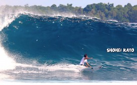
 Kaito Kino @ J-Bay 6/20
https://www.namidensetsu.com/news/csj_arukas/160483
の映像です〜